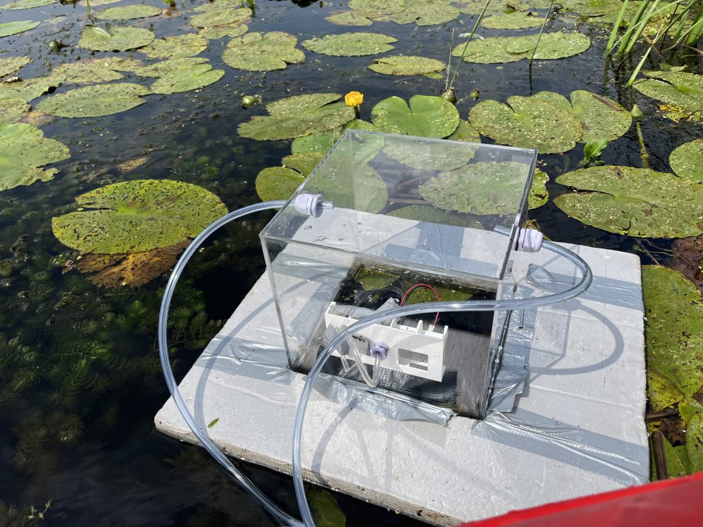
High-Resolution Mapping of Greenhouse Gas Emissions in the Biebrza River Floodplain
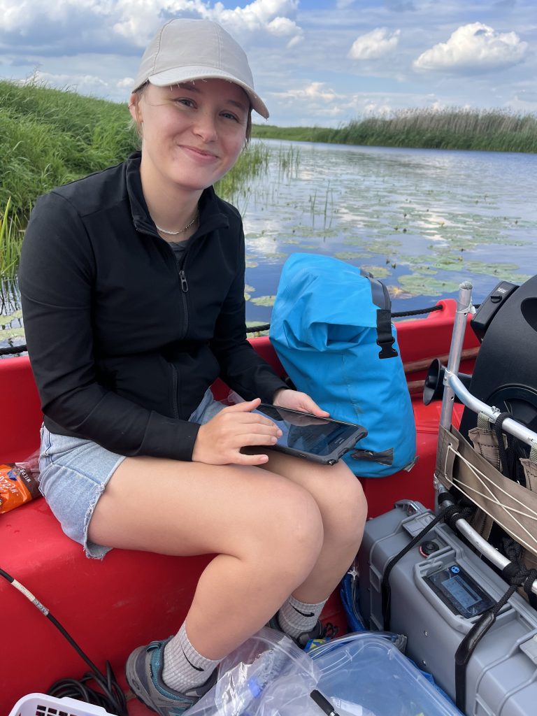
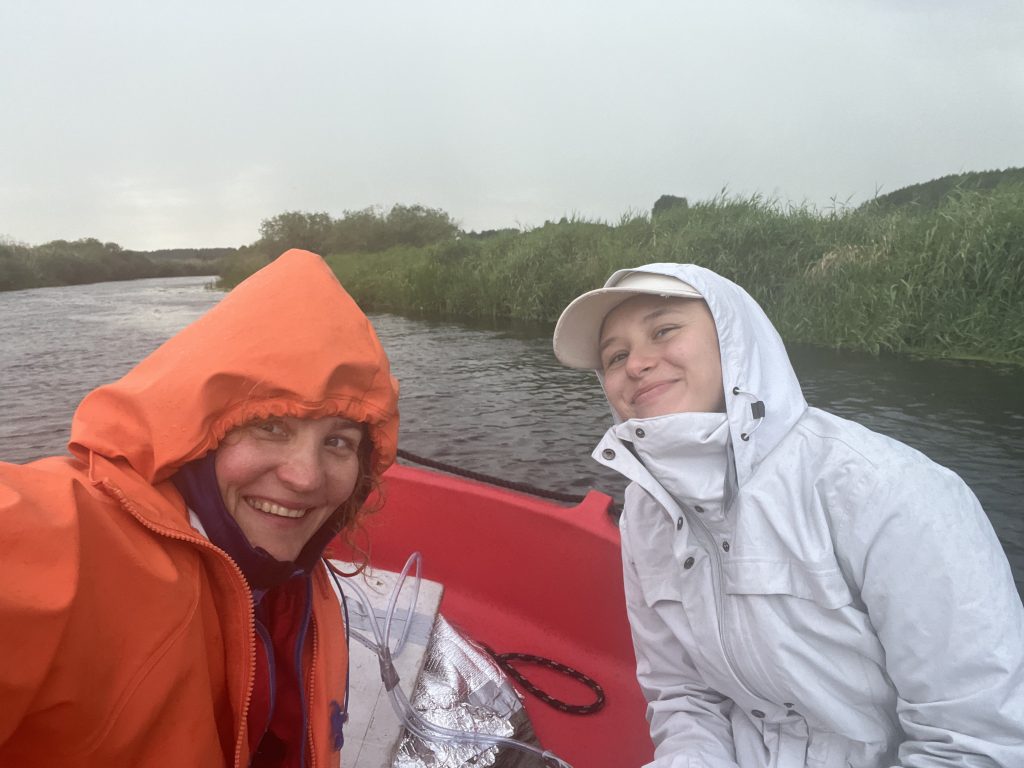
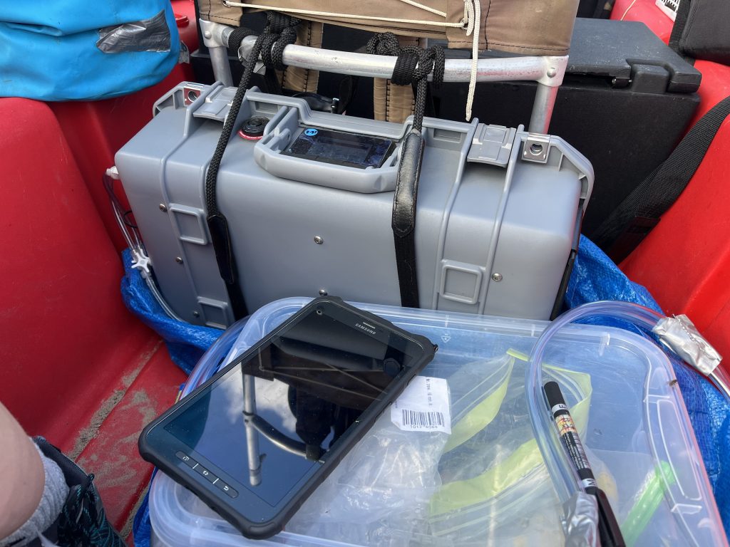
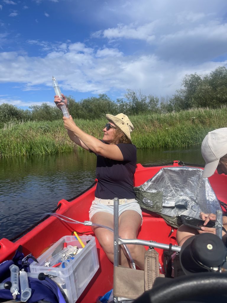
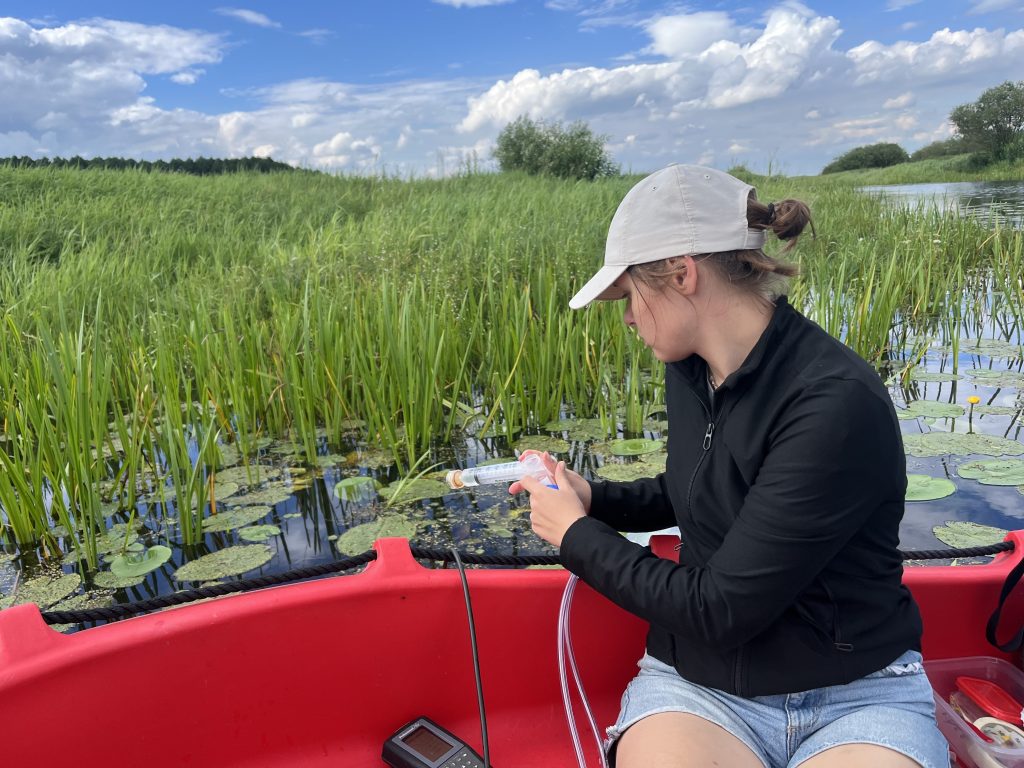
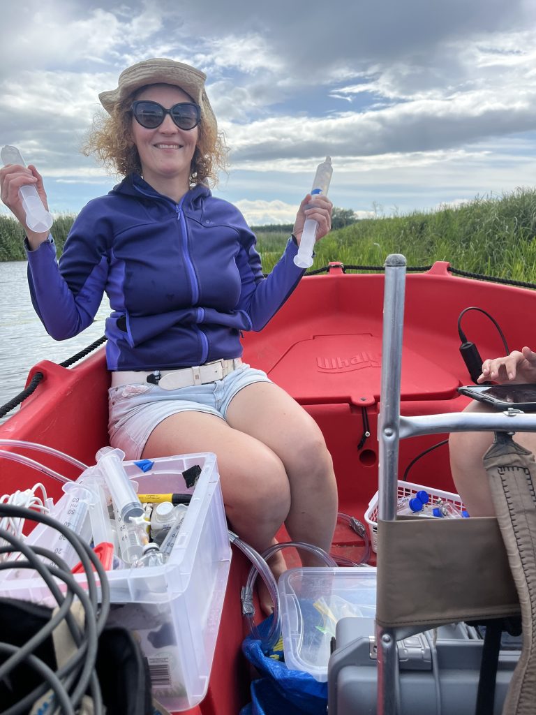
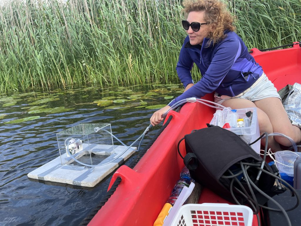
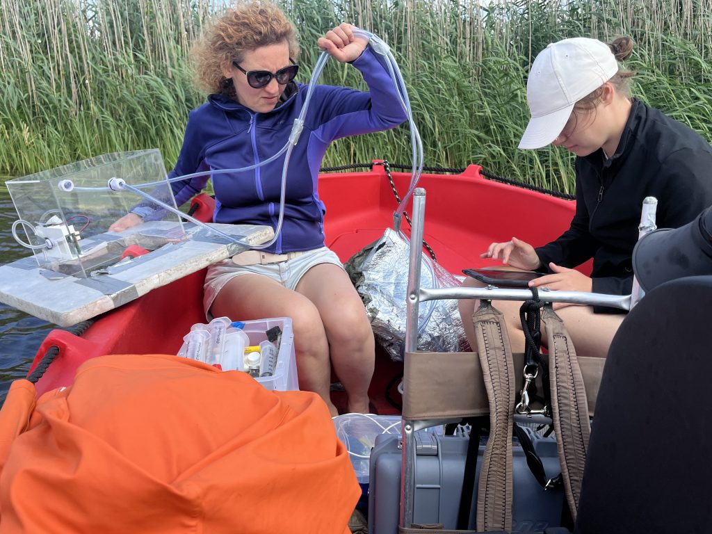
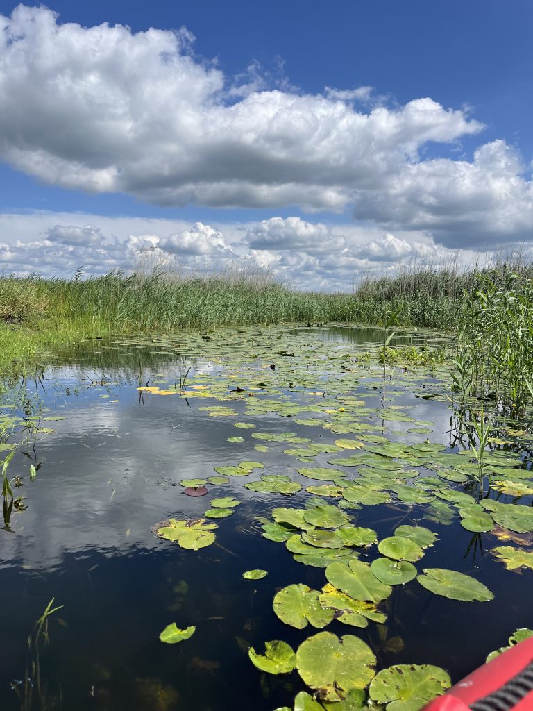
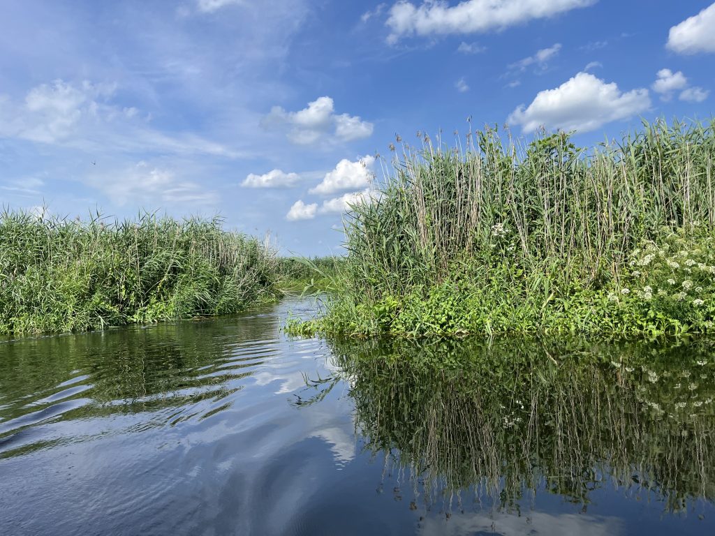
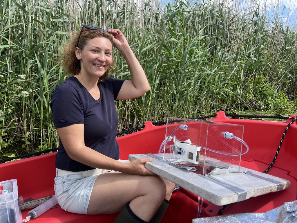
This week, our team carried out intensive fieldwork in the breathtaking landscapes of Biebrza National Park, focusing on mapping greenhouse gas (GHG) emissions along the Biebrza River and its side arms.
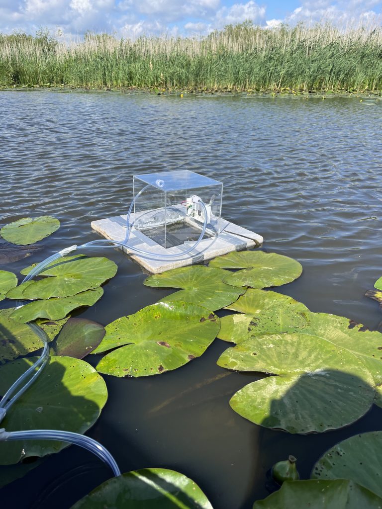
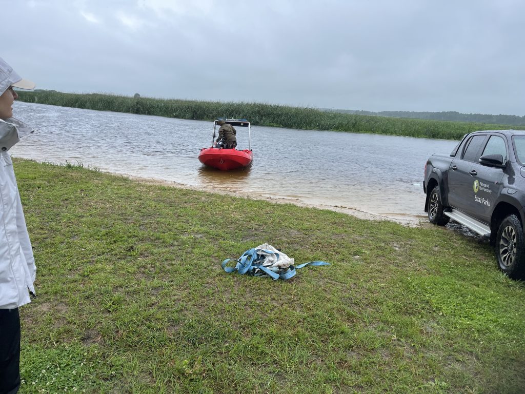
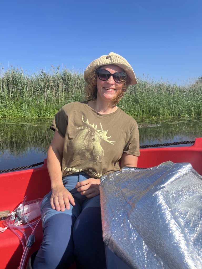
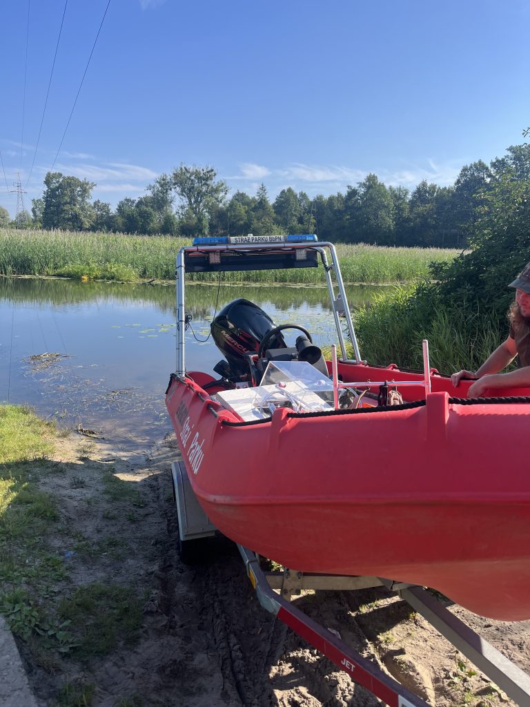
Thanks to the kind support of the Biebrza National Park rangers, we had the opportunity to join them on their boat and conduct high-resolution measurements from the upstream to downstream reaches of the river. Over two dynamic days, we encountered everything from sunny skies to heavy rain — and plenty of birds, curious tourists, and changing weather in between.
Our measurements were carried out together with Kaja Słupska, MSc student at the Center for Climate Research, who is contributing to the work through her thesis within the FluxFlood project.
🌿 Preliminary results are promising: side arms of the Biebrza appear to be hotspots of exceptionally high methane (CH₄) emissions, which we’re now analyzing in detail.
Szkoła Główna Gospodarstwa Wiejskiego w Warszawie informuje, że na swoich stronach www stosuje pliki cookies (tzw. ciasteczka), w tym pliki funkcjonalne, analityczne i reklamowe. Szczegółowe informacje na temat przetwarzania danych użytkowników serwisu i wykorzystywanych technologii śledzących dostępne są w „Polityce cookies”. Aby zmienić ustawienia skorzystaj z ustawień swojej przeglądarki, aby wyłączyć pliki cookies kliknij \"Nie wyrażam zgody\".Wyrażam zgodęNie wyrażam zgodyPolityka cookies


 Centrum Badań Klimatu