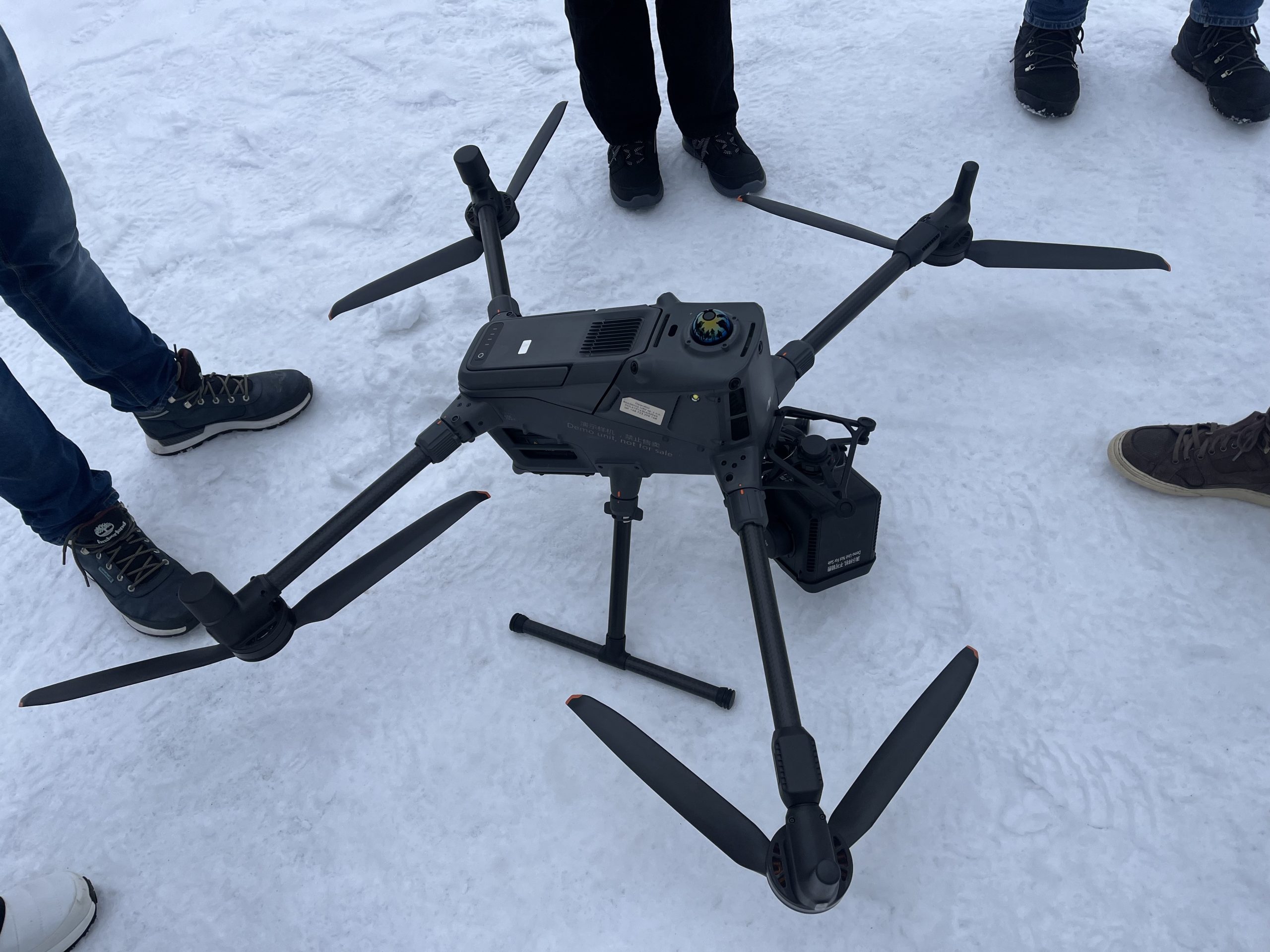
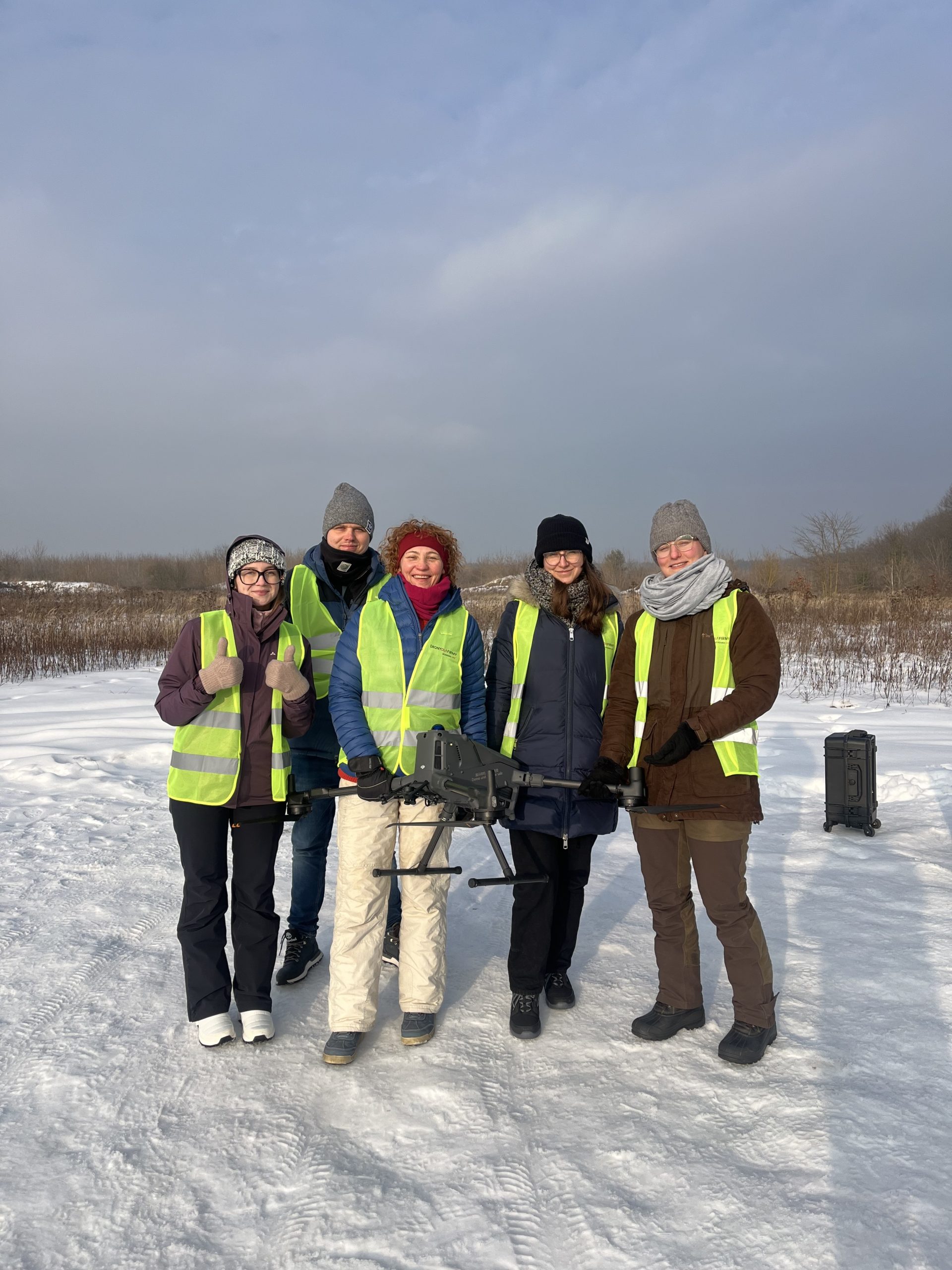
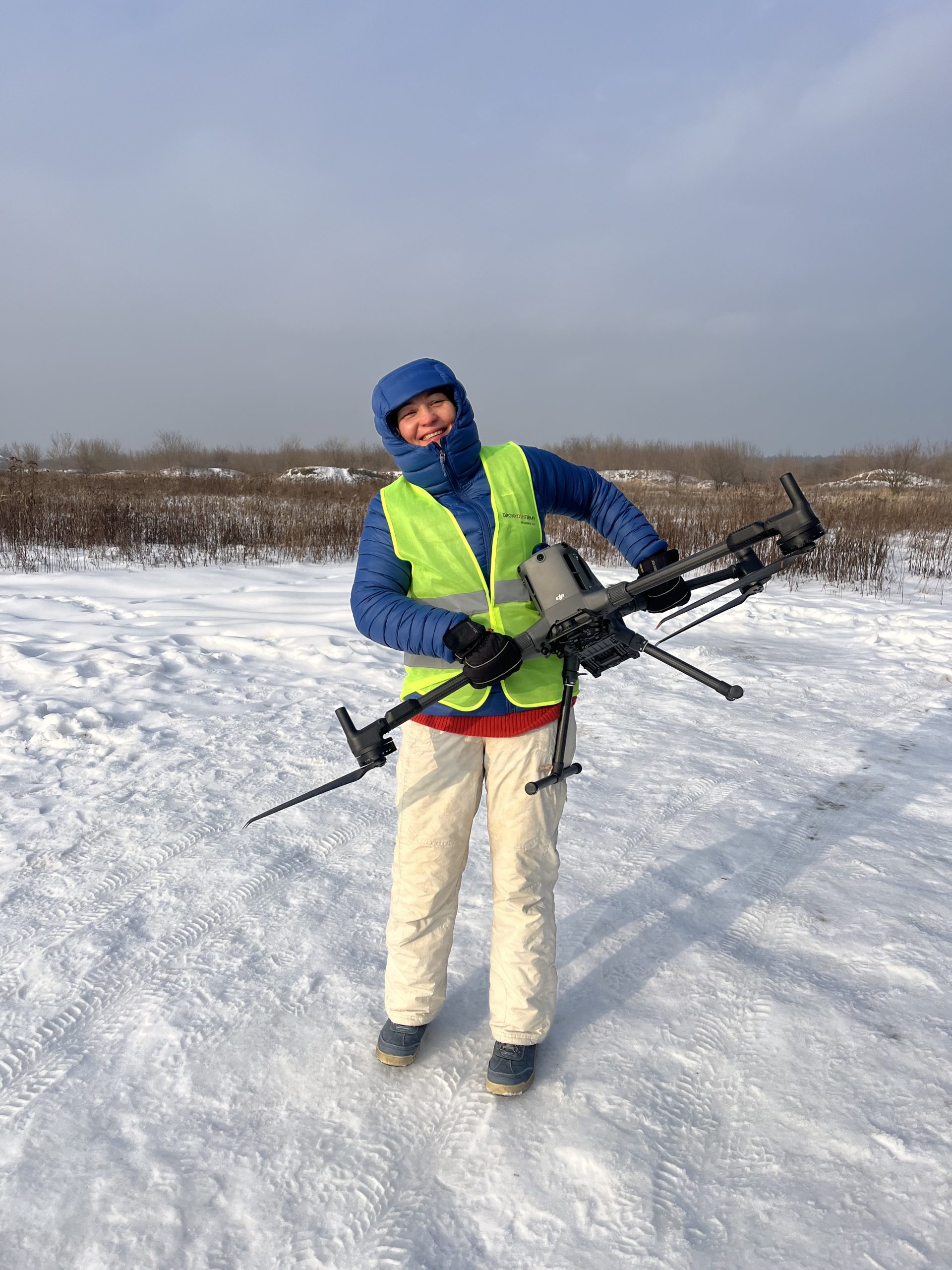
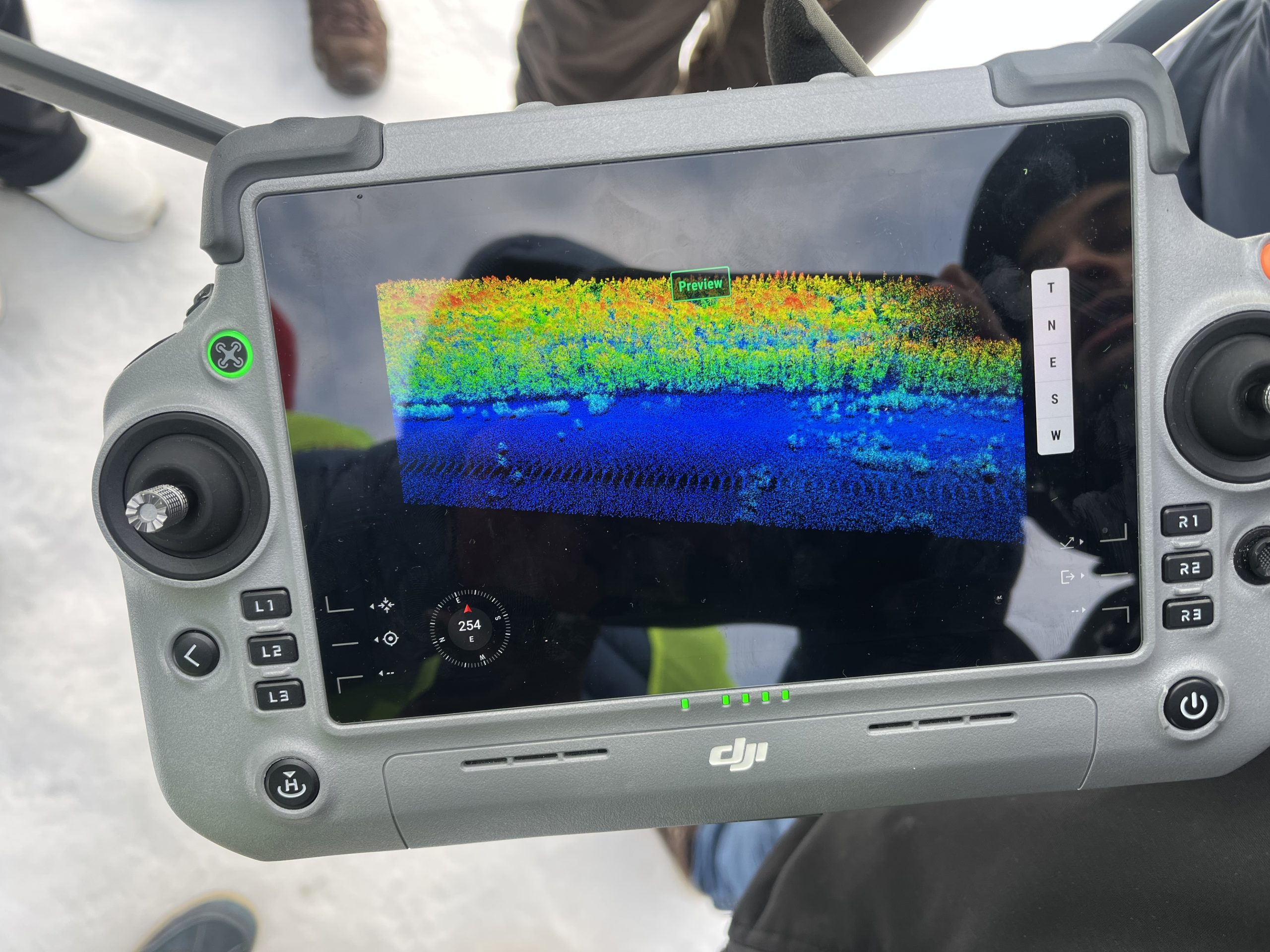
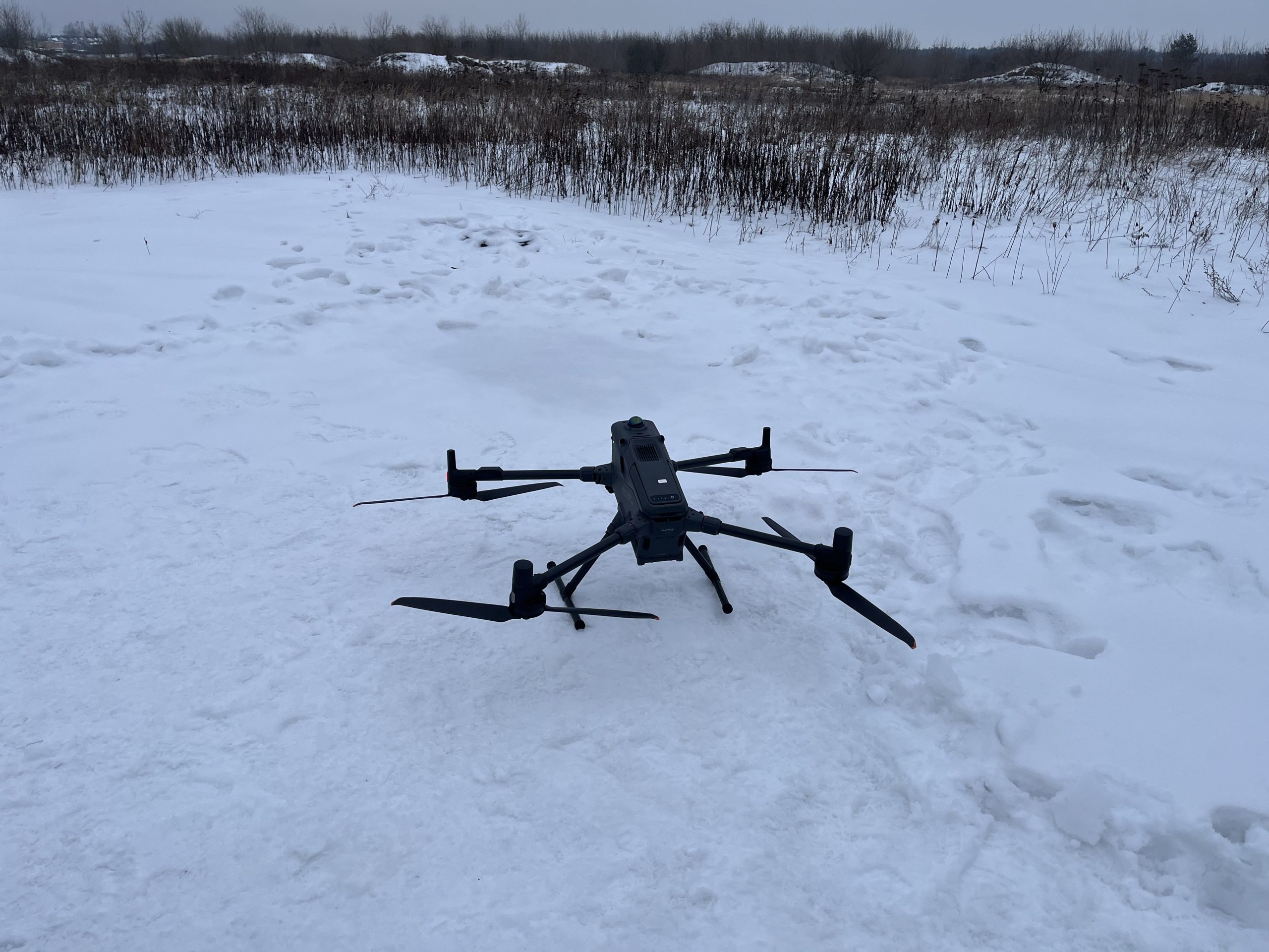
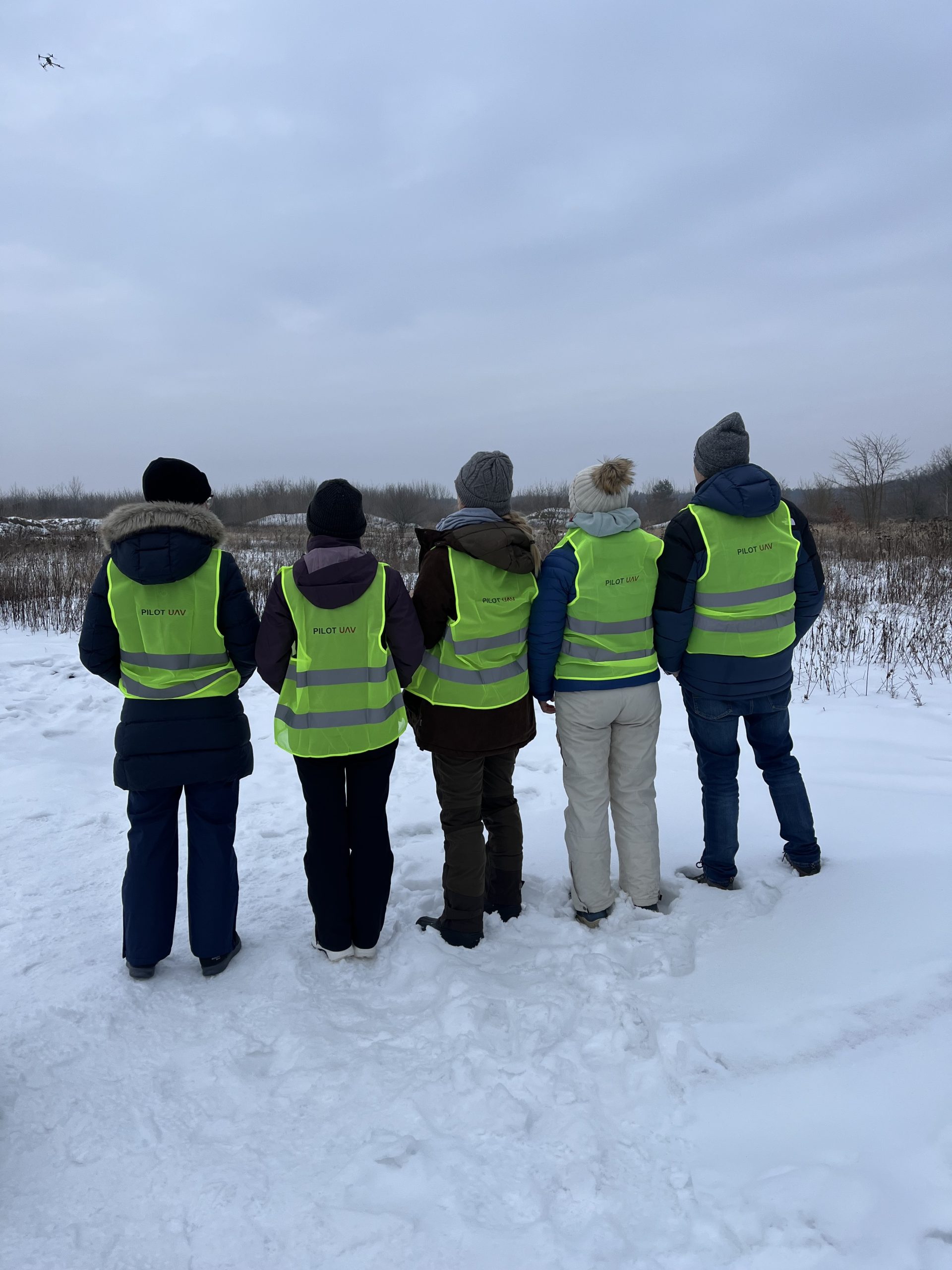
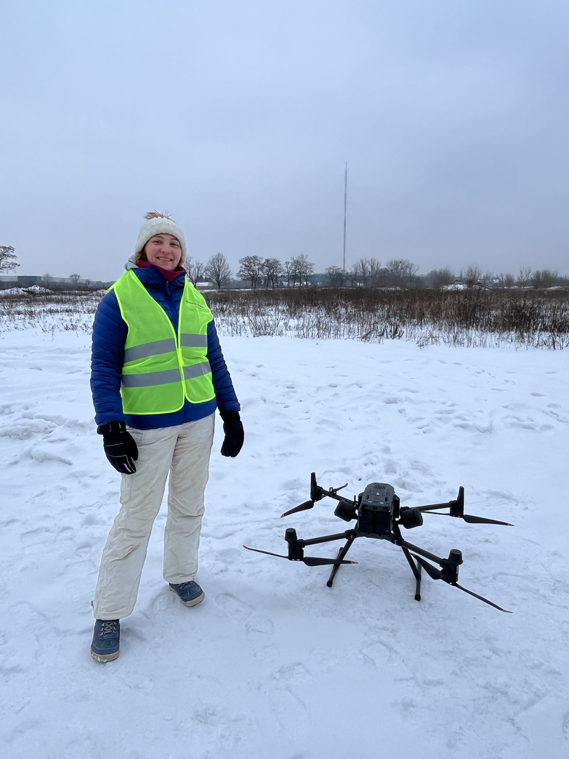
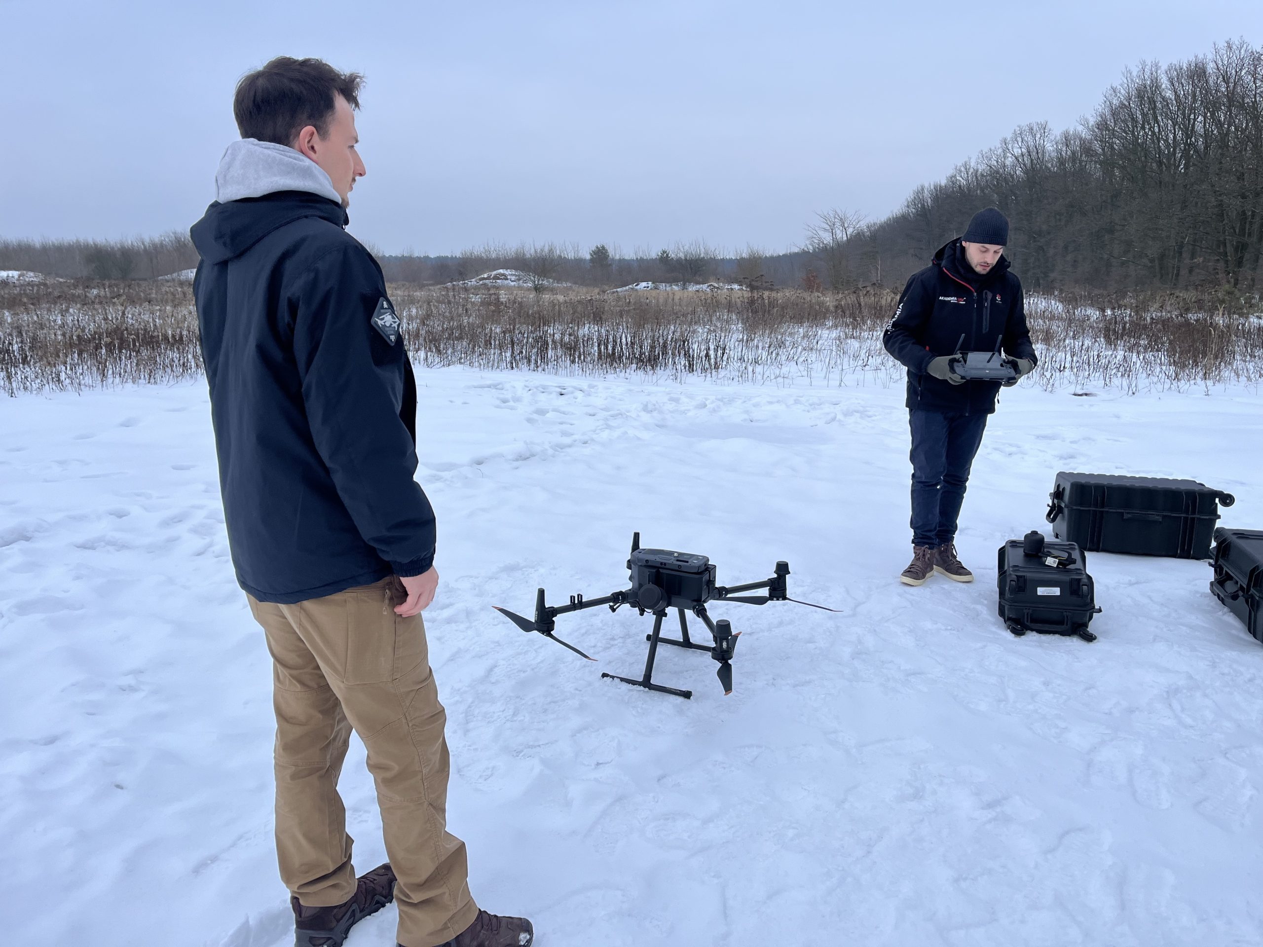
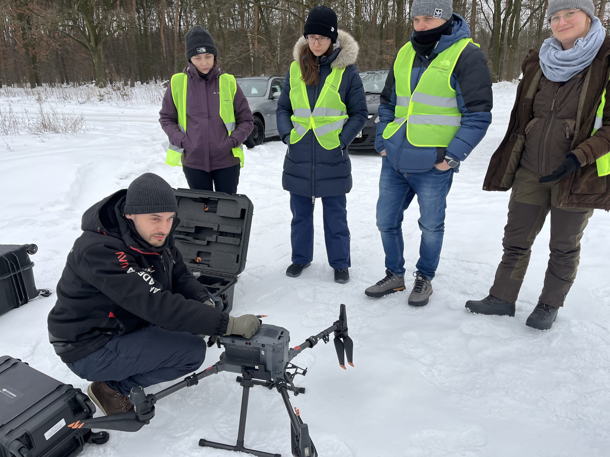
This week, the FluxFlood project successfully completed unmanned aerial vehicle (UAV) training, obtaining UAV pilot license in the special S1 and S2 categories. This new operational capability significantly expands our greenhouse gas (GHG) monitoring toolbox. Multiple instruments, including CO₂ and CH₄ analyzers can now be mounted on UAV platforms, enabling high-resolution mapping of GHG emissions across flooded floodplains and other previously inaccessible areas.
Szkoła Główna Gospodarstwa Wiejskiego w Warszawie informuje, że na swoich stronach www stosuje pliki cookies (tzw. ciasteczka), w tym pliki funkcjonalne, analityczne i reklamowe. Szczegółowe informacje na temat przetwarzania danych użytkowników serwisu i wykorzystywanych technologii śledzących dostępne są w „Polityce cookies”. Aby zmienić ustawienia skorzystaj z ustawień swojej przeglądarki, aby wyłączyć pliki cookies kliknij \"Nie wyrażam zgody\".Wyrażam zgodęNie wyrażam zgodyPolityka cookies

 Centrum Badań Klimatu